

Last updated: . This update checks current Mount Blue Sky road access and Manitou Incline reservation and waiver rules; the hiking memories are historical. Date information added October 28, 2026.
*This post may contain affiliate links. Opinions shared are my own and I only endorse products I support. By clicking on any of the links below, I may get a small commission if you make a purchase at absolutely no additional charge to you. I appreciate your support. You can read my full disclaimer here.*
First published June 12, 2018. The hike and road details below include historical observations; check current official information before planning.
One of the highlights of Colorado is its 14ers—peaks above 14,000 feet. If you are looking for more family ideas, see our Glenwood Springs stop or browse current Colorado activities. These hikes can be challenging because of altitude and elevation gain. Weather and route conditions vary, so check current forecasts and official information for the specific mountain. A fixed start time or summit deadline is not a safety guarantee; be prepared to adjust your plans or turn around.
Our related family video: The 7Wayfinders Take Over Colorado!.
Trailhead access was part of our planning decision. I had originally wanted to hike Grays and Torreys—two neighboring 14ers we had considered hiking together that day. However, we had a sedan and read that even in summer we would have to park 3 miles from the trailhead without 4-wheel drive. Another 6 miles of walking? Nope. We’ve also done it before (in a different vehicle), so we picked a new peak for us- Mt. Evans.
Mount Evans is now called Mount Blue Sky. Our original story uses the former name. For present-day navigation, see CDOT’s Mount Blue Sky byway information. The view felt worth the drive to me, but if you get carsick like I do, watch out! I remember being so nauseous at the top of Pike’s Peak as a teenager that I never wanted to go back. Brake overheating was also a concern for us on the descent; on one earlier drive, staff stopped vehicles to check brake temperatures. For current road access, timed entry, weather, and closures, check the Mount Blue Sky Recreation Area’s official timed-ticket page. October 2026 planning update: that page reports the road closed to vehicles from October 5 through the rest of 2026. Check its latest notices before planning a later visit.
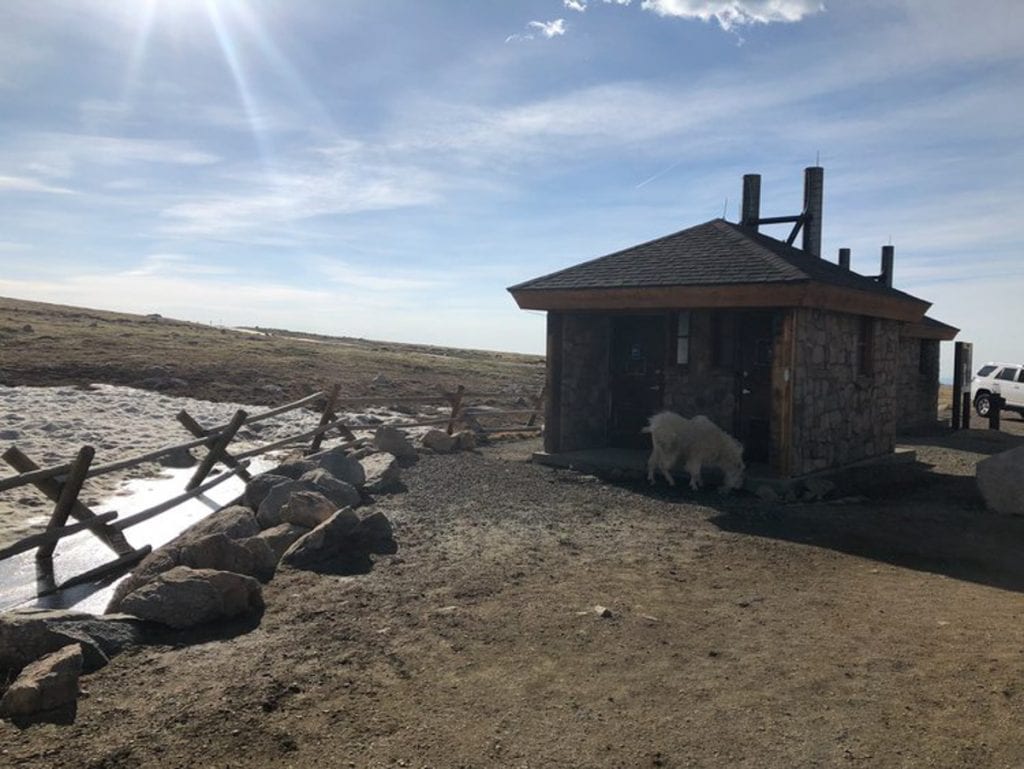
When we got to the parking lot of the route we had chosen (there are many choices for this summit), it was full of mountain sheep and goats. These ended up being the only ones we saw that day, so I’m glad we took some early pictures.
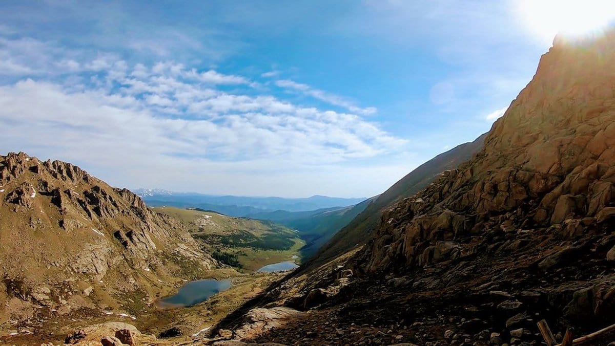
We decided to hike near a lake and accidentally missed the turnoff at some point. We ended up basically boulder-climbing for nearly 3 hours, trying to find a path to where we could see we needed to go. It was exhausting. We even had to traverse some snow and likely were just a little too early in the season for the route we picked. A fellow hiker came by and we realized we basically had to just scale over the top of the cliff above us if we wanted to continue on. In typical fashion, I could not be deterred from the trail, despite how tired we both were already.
Once we scaled some rocks and got on top of the ridge, we were able to summit a 13er, go down into a valley, and get about 80% of the way to the summit of Mt. Evans. It was already 1 p.m., past the noon summit time we had read as a recommendation. We realized it was getting too late, so we turned around with some fellow hikers and headed back. Thankfully, we were still able to drive to the summit. Check current road access and conditions before planning a drive.
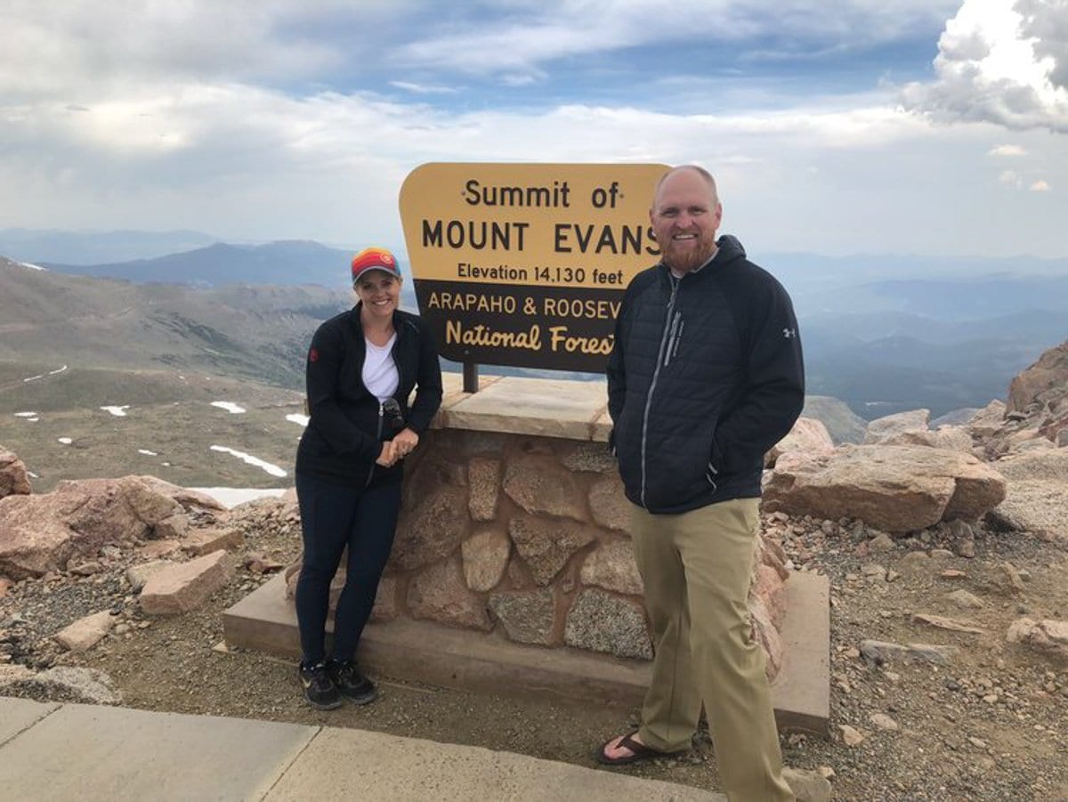
I love meeting people on the trails. There’s a bonding element to seeing people do the same hard thing. We found the people we met in Colorado warm, welcoming, and helpful with our route questions. Meeting dogs on the trail was a favorite, too.
There is nothing quite like summiting a mountain for me. I enjoy the challenge of getting up and feel a huge sense of accomplishment when I reach the top. The hardest part for me is going back down; I am not nearly as excited, and the exhaustion settles in. Taking off my hiking boots once I get into the car and sit down feels pretty darn nice.
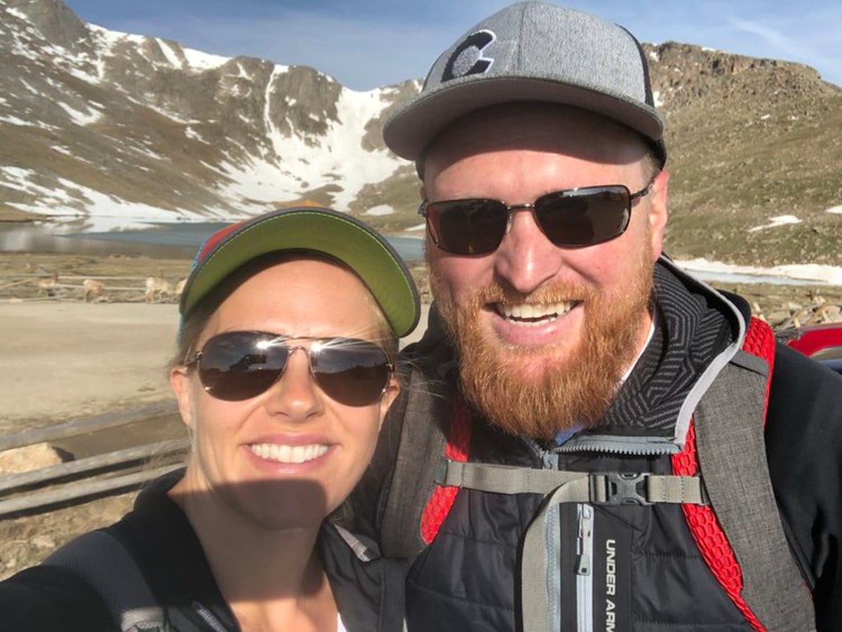
I also hiked the Manitou Incline for the first time on a different day. I loved the workout, the views, and the conversation with a good friend between breaths. The city’s current Incline page lists 2,768 steps, requires a free online reservation and waiver, and directs hikers to alternate trails for the descent instead of climbing down the stairs. Check its current access details before visiting. If you are planning a stay nearby, this accommodation search is a starting point.
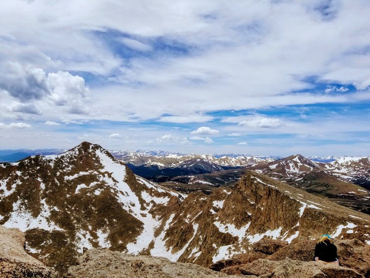
Mountain Peaks
Colorado is such a fun, natural playground! For this mountain, check current road, weather, and reservation details before visiting.

Plan your next trip and get fare deals from Booking.com, Skyscanner, Kiwi.com, or Expedia
Find a nice hotel anywhere you are from Expedia, or Vrbo, (we also love Tripadvisor and Hotels.com)
Discover more of the world while having fun through exciting activities from GetYourGuide, Airbnb Experiences, or Viator
Need to rent a car to navigate the city? Visit Rentalcars.com.
Get insured while traveling with World Nomads.
Want to have a photo shoot while traveling? Check out flytographer!
Capture your best travel memories as we do with a GoPro, Sony camera, or our favorite drones: DJI FPV, Air, and Mini
Check out your travel necessities from a comprehensive list of all the 7Wayfinders Travel Must-Haves. Click Here!
10 Tips For Surviving Jet Lag When Traveling With Kids
Our First Stop with Kids: Glenwood Springs, CO
Last Minute Preparation for Full-Time Travel with Kids





 Facebook
 Pinterest
 Youtube
8 Comments